WEATHER: Winter coming back with a bang as temperatures to plummet in Derry & NW
and live on Freeview channel 276
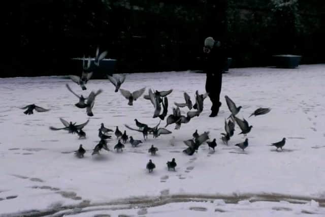
Latest forecasts from both Met Éireann and the Met Office show that temperatures are set to plummet on Wednesday, with freezing conditions likely overnight later in the week with even the chance of snow or sleet.
Met Éireann is forecasting that by Wednesday evening temperatures in the north Inishowen area will be hovering around zero degrees, and there could even be some wintry showers in advance of this tomorrow (Tuesday) night in some areas.
Advertisement
Hide AdAdvertisement
Hide AdThe cold snap is expected to continue into the weekend and beyond, with the potential for sleet or snow on Friday night going into Saturday.


In its longer range national forecast, Met Éireann states: “Wednesday morning will be cold with frost and icy stretches. It will be dry with hazy sunny spells at first, but cloud will spread from the south through the day and patchy rain will develop in the south and southwest.“Wednesday night: Rain or sleet will extend across Munster, Connacht and Leinster on Wednesday night and snow is possible on higher ground. Lowest temperatures of -2 to +2 degrees in a light to moderate east to northeast wind, freshening later.“Thursday: Rain and sleet will move further north on Thursday, clearing to scattered showers in the south later. Snow is possible on higher ground. Cold and breezy, with highest temperatures of 2 to 5 degrees and a moderate to fresh northeasterly wind.
“Thursday night: Rain and sleet will continue over the northern half of the country on Thursday night, with scattered showers further south. Snow is possible on higher ground in the north. Lowest temperatures of 0 to 4 degrees with a moderate to fresh east to northeast wind.
“Friday: Staying unsettled with showers or spells of rain or sleet. Highest temperatures of 3 to 7 degrees generally, milder in the south, with a moderate to fresh northeasterly wind.”
Advertisement
Hide AdAdvertisement
Hide AdThe UK Met Office concurs with this in its forecast for Derry and north, stating that it will be “mainly dry and cold on Wednesday, chance of a wintry shower”, and also “cold and mainly dry on Thursday and Friday, with a small chance of sleet and snow Thursday”.