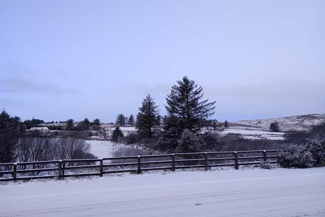
WEATHER: Yellow snow and ice warnings extended through to Friday for Derry & NW
and live on Freeview channel 276
Yellow alerts for counties Derry, Tyrone and Donegal and other parts of Ireland have been issued by both the Met Office in the UK and Ireland’s Met Éireann.
The Met Office has advised that a band of rain, sleet and snow will bring some travel disruption for parts of Northern Ireland through Thursday and into Friday.
Advertisement
Hide AdAdvertisement
Hide AdIts yellow snow and ice warning has been issued for all six counties in the north, valid from 10:00am on Thursday, February 8 through to 6:00am on Friday, February 9.


In its forecast for the region, the Met Office said people can expect today Wednesday will continue to have sunny spells but cautioned over “a few wintry showers in north, mainly coastal areas in the north.”
"Dry overnight with clear spells allowing a frost to form in places. Cloud increasing from the south and a freshening easterly wind developing later, particularly for coastal areas. Minimum temperature -1 °C.
"Thursday: A dry start to Thursday then clouding over with some rain, sleet and snow edging up from the south. Easterly winds continue to strengthen. Maximum temperature 4 °C."
Advertisement
Hide AdAdvertisement
Hide AdMet Éireann has issued a similar alert for Donegal as well as Cavan, Monaghan, Leitrim, Mayo, Roscommon, Sligo, Longford.
It has warned of “sleet and snow leading to accumulations, most significant on higher ground”, resulting in possibly hazardous travelling conditions, poor visibility and ice on untreated surfaces.
It’s warning is active from 5:00am on Thursday to 8:00pm on Thursday at this stage.