
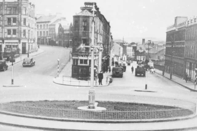

The collection entitled 'Yesterday...so far away' was loaned to the library by the Servite Priory, Benburb, Co. Tyrone.
The ‘Journal’ decided to have a look at how some of the historic Derry locations look now.
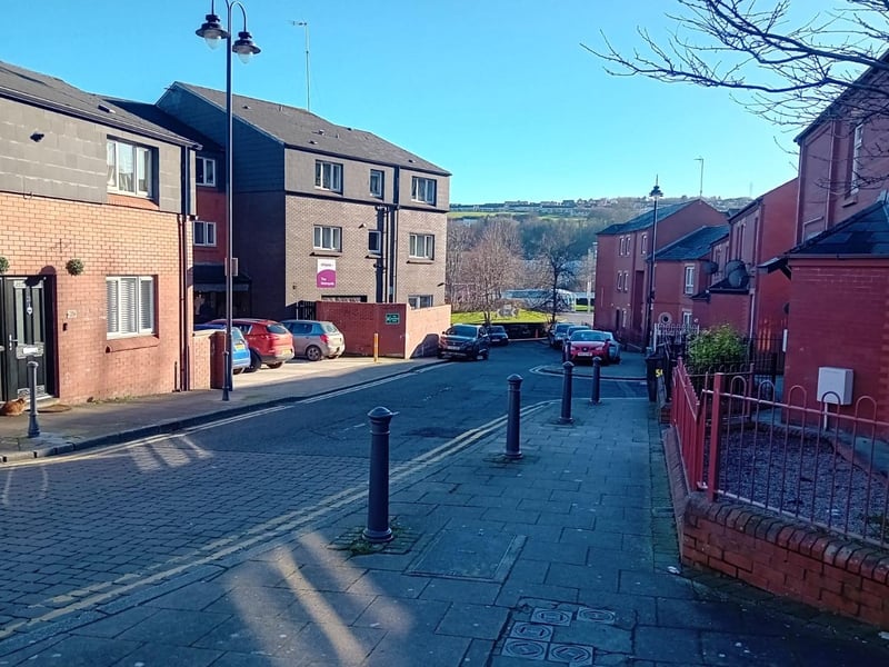
Some of the featured sites have been utterly transformed and are now unrecognisable but others have hardly changed at all. Plus ça change...
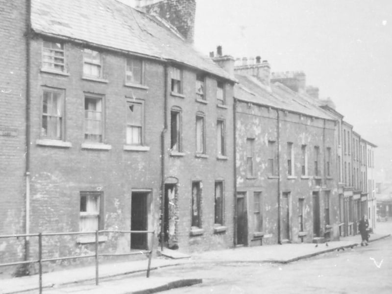
17. Lower Bridge Street at the junction of Sugarhouse Lane. This section of housing was demolished in the late 1960s, whereas the remainder of the street wasn't pulled down until the early 1970s.
Lower Bridge Street at the junction of Sugarhouse Lane. This section of housing was demolished in the late 1960s, whereas the remainder of the street wasn't pulled down until the early 1970s. Photo: Heritage Library exhibition
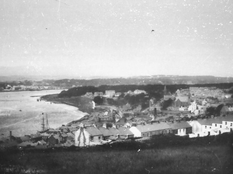
19. A view of the River Foyle, and part of the Waterside, as seen from the hill overlooking Craigavon Bridge, where Gobnascale stands today. Notice the jetties below Ebrington Barracks from where the ferry operated to the west bank. Photo take sometime between 1875 and 1893.
A view of the River Foyle, and part of the Waterside, as seen from the hill overlooking Craigavon Bridge, where Gobnascale stands today. Notice the jetties below Ebrington Barracks from where the ferry operated to the west bank. Photo take sometime between 1875 and 1893. Photo: Heritage Library exhibition
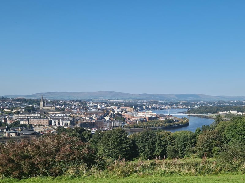
20. The view from Gobnascale of the River Foyle cutting through Derry in 2025.
The view from Gobnascale of the River Foyle cutting through Derry in 2025. Photo: Jack Tibbetts