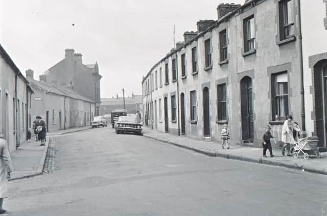
Since 1987 the Queen's University at Belfast has been developing the ‘Northern Ireland Place-Name Project’ and compiling an incredible database of names that sometimes date back over a thousand years.
In compiling the Derry city section the compendium draws heavily on John Bryson's seminal 'Derry's Streets'. Other sources, including George Vaughan Sampson's map of Co. Derry of 1814, are also cited.
Some of the meanings suggested in the database are open to interpretation and debate but make for fascinating reading.
Based in Queen’s University, the project works in collaboration with Land and Property Services in the Department of Finance in providing a free online database of our local place-names (www.placenamesni.org. This is accompanied by an interactive searchable map of historical names (townlands, parishes, baronies and counties) which is provided by LPS.
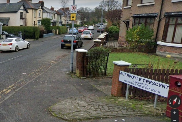
1. Aberfoyle Crescent (Corrán Obar Phuill). Aberfoyle was the name of a house belonging to John McFarland. (Bryson). In the Welsh language (Cymraeg) 'Aber' means 'mouth of' in place names. Possibly 'mouth of the Foyle'. In Irish 'Béal na' or 'Inver' is the cognate of 'Aber'.
Aberfoyle Crescent (Corrán Obar Phuill). Aberfoyle was the name of a house belonging to John McFarland. (Bryson). In the Welsh language (Cymraeg) 'Aber' means 'mouth of' in place names. Possibly 'mouth of the Foyle'. In Irish 'Béal na' or 'Inver' is the cognate of 'Aber'.
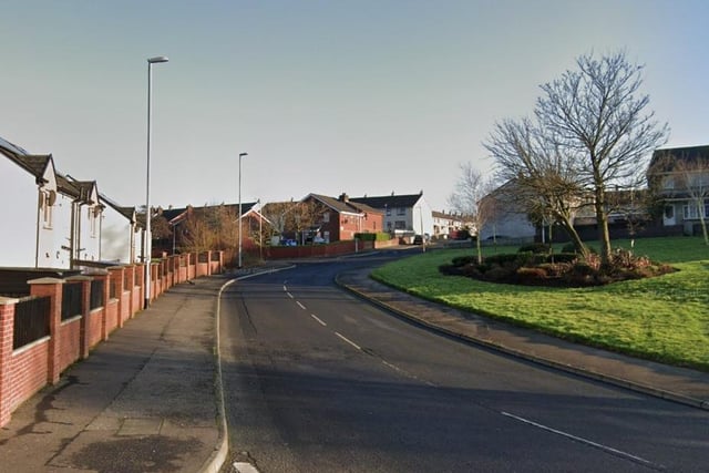
2. Ardnamoyle Park (Ard na Mothaille). 'Height of the shaggy grass'. Ardnamoyle is a hill to the north-west of Holywell Hill. The name is recorded as Ardnamohil in 1609 and in 1813 on Sampson's map (Bryson). This suggests that the second element is mothall - 'mop of hair', 'shaggy grass' rather than Ard na mBuachaill or Ard na Maol.
Ardnamoyle Park (Ard na Mothaille). 'Height of the shaggy grass'. Ardnamolye is a hill to the north-west of Holywell Hill. The name is recorded as Ardnamohil in 1609 and in 1813 on Sampson's map (Bryson). This suggests that the second element is mothall - 'mop of hair', 'shaggy grass' rather than Ard na mBuachaill or Ard na Maol.
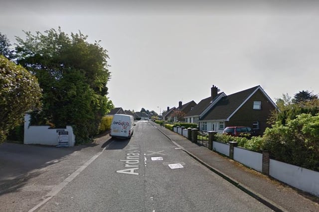
3. Ardnashee (Ard na Sí). A local house was called the Fairy Mount. Ard na Sí means 'height of the fairies'.
Ardnashee (Ard na Sí). A local house was called the Fairy Mount. Ard na Sí means 'height of the fairies'.
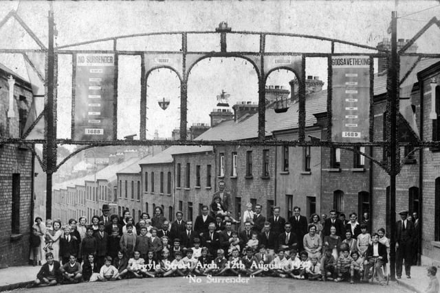
4. Argyle Street (Sráid Earra-Ghàidheal). Earra-Ghàidheal means 'coast of the Gaels.' Argyll in South-West Scotland was the area first colonised by Irish settlers. According to tradition the Gaelic kingdom of Dál Riada was established in this area in the sixth century.
Argyle Street (Sráid Earra-Ghàidheal). Earra-Ghàidheal means 'coast of the Gaels.' Argyll in South-West Scotland was the area first colonised by Irish settlers. According to tradition the Gaelic kingdom of Dál Riada was established in this area in the sixth century.
