Tornado risk alert as Storm Ciara pounds into Ireland
and live on Freeview channel 276
Storms have already brought flooding to some parts of the North West, including on the outskirts of Derry. Beragh Hill Road was closed for a time last night, while the Lisdivin Road in Strabane has also been closed.
High winds closed the Foyle Bridge to all high sided vehicles for a time earlier this morning (Sunday) but it has since reopened to all traffic with the situation being monitored on an ongoing basis.
Advertisement
Hide AdAdvertisement
Hide AdIn Inishowen, drivers were being urged to avoid Glentogher, Muff to Quigley’s Point at Ture, Burnfoot to Birdstown, and Newtown to Killea just outside Newtown due to flooding overnight.
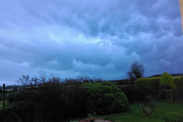

Met Eireann has issued a Status Orange wind warning and stated: “On Sunday, Storm Ciara will produce very strong southwest winds with mean speeds of 65 to 80km/h and gusts generally up to 130km/h.
“A combination of Spring Tides and high seas as well as stormy conditions will result in a significant risk of coastal flooding especially along western and northwestern coasts.”
Meanwhile the Northern Ireland Weather & Flood Advisory Service has confirmed that TORRO, the UK’s Tornado and Storm Research Organisation, has issued a warning for a risk of isolated tornadoes on Sunday along with wind speeds of 85mph, hail and thunder.
Advertisement
Hide AdAdvertisement
Hide AdNI Weather & Flood Advisory Service said: “We are monitoring this risk and keep you updated.”
A ‘Torro Convective Discussion’ was issued close to midnight and is valid from 5am to 9pm on Sunday 9th February 2020 for Eire, N Ireland, S Scotland, England, Wales, Isile of Man and the Channel Islands.
TORRO has stated that the threats are for “Isolated tornadoes; wind gusts to 85mph; hail; isolated CG lightning”.
Explaining the potential for tornadoes and other damaging weather TORRO stated: “A deep Atlantic cyclone, named Ciara by the UK Met Office, will move into Scotland on Sunday. To the south of this, a very mild and moist airmass of tropical origin will overspread the risk area. Aloft and near surface, intense jet streams will be present. Subtle upper troughs are likely to overspread the warm sector and the advancing cold front, perhaps inducing one or more minor synoptic waves along the front. “Additionally, mesoscale waves may develop along the front more locally. The former waves would likely enhance the wind fields to their south, with the smaller-scale waves inducing regions of enhanced low-level convergence.
Advertisement
Hide AdAdvertisement
Hide Ad“With a potent low-level jet, convective elements within the one or more lines which are expected to develop as the cold front/fronts moves ESE (with 100-200 J/Kg of low-level CAPE simulated) should help duct strong winds to the surface. Widespread non-convective wind gusts of 60-65mph seem likely in the warm sector, with 65--75mph possible within the convective lines - and perhaps locally 80-85 if more intense lines develop.
“Additionally, the intense low-level shear may allow for one or two fast-moving tornadoes to develop, especially close to any mesoscale waves along the convective lines. Hail will be possible too.
“Finally, occasional CG lightning may develop - this seems most likely across N Ireland/S Scotland in the morning.
“If intense convective lines are noted, then an upgrade to a more focussed tornado watch may be required.”