Video: Laser survey planned for a Foyle coast that is in ‘serious difficulty’ according to MLA
and live on Freeview channel 276
Roger Downey, Department of Agriculture, Environment and Rural Affairs finance director, said the department has bid for funding for a high-resolution LIDAR mapping exercise.
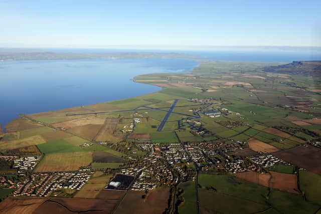
East Derry SDLP MLA John Dallat raised the problem of coastal erosion at Magilligan where dozens of acres have been lost to the sea over the past decade.
Advertisement
Hide AdAdvertisement
Hide Ad“Coastal erosion is a serious issue on the Foyle estuary, Magilligan Point and across the Causeway coast,” said Mr. Dallat, during a session at the Stormont AERA Committee.

Mr. Downey said: “The capital infrastructure for coastal erosion may be more to do with the Rivers Agency.
“We have put a bid in here to do the LIDAR survey on the NI coastline.
“That will help to inform what works need to be done on the back of that, but, unless it was round the ports and where the Northern Ireland Fishery Harbour Authority has responsibility, I am not sure that there is a remit for the Department in other more general coastal areas.”
Mr Dallat said it was major issue on Lough Foyle.
Advertisement
Hide AdAdvertisement
Hide Ad“The very fact that you have addressed it and are going to do some work on it is, I hope, useful and will inspire some Departments to take action, because our coastline is in serious difficulty,” he said.