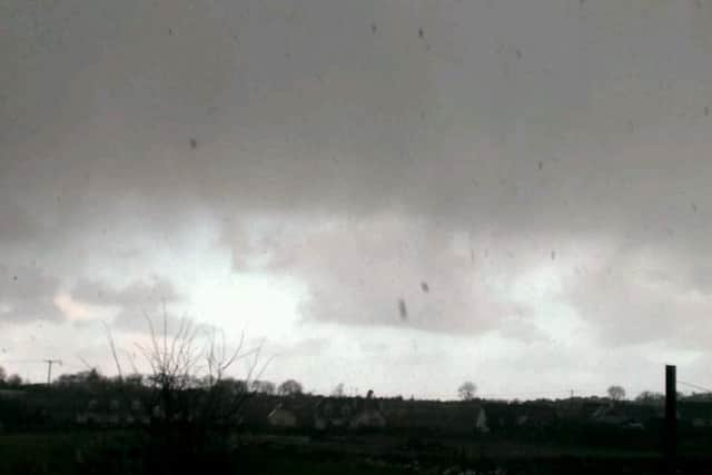
VIDEO: Hail Henry: latest storm batters North West


Following several days of gale-force winds, wintry storms and heavy rainfall, the Met Office and Met Eireann are both predicting more of the same for the next few weeks.
Met Eireann has issued a Status Orange Wind Warning for Donegal, while a Status Yellow Warning for Derry has been issued by the Met Office. There is also warnings concerning exceptional Wave Height off coastal areas.
Advertisement
Hide AdAdvertisement
Hide AdThe Foyle Bridge in the city was this morning closed to high sided vehicles, with a 30 mile per hour speed limit in force as high winds are reported across the region.
The warnings remain in force until midnight on Monday.
Met Eireann has predicted gusts of up to 130km an hour today.
“Winds will peak during Monday afternoon and evening and will be at their strongest along the coasts,” a spokesman said, adding:
“Today will be very windy with strong to gale force southwest winds and severe gusts. It will be stormy in the west and northwest with winds strongest in the late afternoon and evening. Dull at first with rain or drizzle. Brightening up later this morning with sunny spells and showers. Becoming cold with afternoon temperatures of 5 to 9 degrees.”
Advertisement
Hide AdAdvertisement
Hide AdFor tonight and tomorrow, the spokesperson added: “Continuing very windy early tonight and stormy near northwest and north coasts. Winds will gradually ease overnight. Scattered showers will continue and will become heavier and more prolonged in the northwest towards morning.
“Tuesday will be cold, blustery and mostly cloudy with heavy or prolonged showers of rain or hail, a few of them thundery.
“They’ll turn increasingly wintry in the late afternoon and evening with some snow flurries on hills in the northwest. Highest temperatures of 5 to 7 degrees with fresh, gusty westerly winds.”