NI weather: Yellow weather warning in place for thunderstorms for THREE days - flooding possible
and live on Freeview channel 276
Whilst sun blasted down on NI on Saturday and Sunday with highs of 21C, today marks the start of a three-day weather warning for thunderstorms.
The Met Office has issued the yellow weather warnings for Monday, Tuesday and Wednesday - but it will still be warm.
This is what to expect:
Advertisement
Hide AdAdvertisement
Hide Ad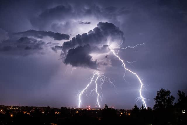

“There is a small chance that homes and businesses could be flooded quickly, with damage to some buildings from floodwater, lightning strikes, hail or strong winds
“There is a small chance of fast flowing or deep floodwater causing danger to life”.
The weather warning for all parts of NI adds that if “flooding occurs road closures with long delays and cancellations to bus and rail services are possible”.
And “there is a small chance communities may be completely cut off”.
Advertisement
Hide AdAdvertisement
Hide Ad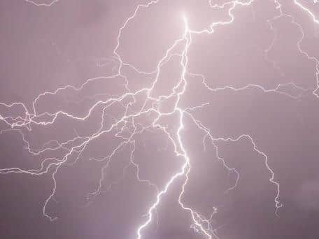
The warning adds that “some severe thunderstorms are likely to develop across parts of the Midlands, Wales and then northern England from late Monday afternoon and through the evening”.
“These may contain large and damaging hail, torrential rain, frequent lightning and possibly very strong and gusty winds.
“Whilst many areas will see some heavy rain, hail and thunder at times where the worst of the storms occur some exceptional rainfall totals are possible.
“60 mm of rain is possible in an hour with a very small chance of 150 mm in 3 or 4 hours”.