
'Very cold’ weather to ring in New Year in Derry and Donegal
The mild weather we enjoyed around Christmas Day looks set to change as the New Year will be welcomed with plummeting temperatures and a chance of some sleet or snow.
The Met Office has outlined how temperatures overnight on Tuesday and Wednesday will be in the minus figures, with a slight reprieve on Thursday, New Year’s Day, before dropping again into Friday.
The forecast states: "Dry on Wednesday with sunny periods. Scattered showers on Thursday, some longer spells of rain at first. Much colder on Friday with a chance of snow showers.”
Met Eireann is also forecasting ‘very cold conditions’ and a chance of some ‘wintry precipitation’.
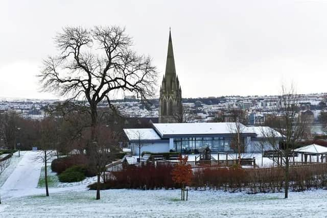

Ahead of that, tomorrow, Tuesday, December 30 will, according to the Met Office, see any overnight fog patches clearing in the morning.
"Otherwise it will be a dry day with some spells of sunshine. Maximum temperature 6 °C.”
That drops to around -1°C overnight on Tuesday.
Wednesday will remain quite cold, with highs of around 4°.
However, Wednesday is forecast to be dry, with sunny periods.
Thursday will see some scattered showers and temperatures will be a little warmer, with highs of around 6 °C.
It will be ‘much colder on Friday with a chance of snow showers.’ Highest temperatures on Friday will be around 2°
Met Eireann said that New Year’s Eve will ‘start out frosty’ and sunny spells will then develop.
"Chilly, with temperatures of just 2 to 6 degrees in a light variable breeze.”
Met Eireann forecasts that outbreaks of rain and drizzle will ‘move in over Atlantic coasts overnight with drier spells elsewhere.’
" Lowest temperatures of -2 to +3 degrees in mostly light to moderate westerly winds, strong at times on Northern coasts.”
Thursday, New Year’s Day, will be ‘slightly milder’. with highest temperatures of 5 to 8 degrees in moderate westerly winds and patchy outbreaks of rain or drizzle.
In its national forecast for Friday and next weekend, Met Eireann stated: “Friday and next weekend: Turning colder again as we move through the first week of January but with high pressure nearby, many places will stay dry. However, showers may spread from the north at times with the potential for some wintry precipitation. Current signals indicate temperatures dropping further, and conditions becoming very cold.”