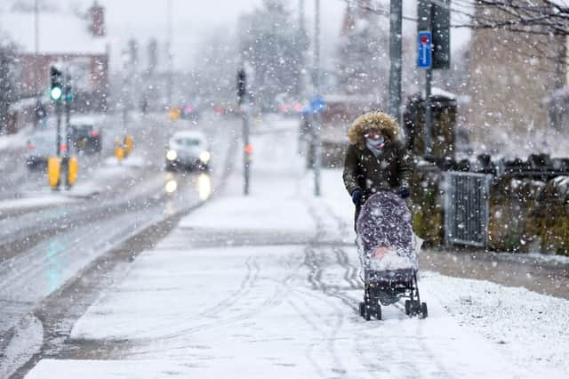
No part of UK will be “immune” to snowfall - as snow showers and gale-force winds forecast over Easter


Temperatures are forecast to plummet across the UK this weekend, with snow showers and gale-force winds expected in parts of the country.
The Met Office has issued heavy snow warnings for parts of northern Scotland but forecasters have warned that no part of the UK will be “immune” from snowfall by Monday (5 April).
Advertisement
Hide AdAdvertisement
Hide AdDespite the cold weather, the public have been urged to respect lockdown rules and only meet with family and friends outdoors now that restrictions have started to ease.
Plans are likely to have to change in Fife, Strathclyde and the Highlands, which are due to see gale-force winds and snow showers as the country enters an “Arctic trough”.
What is the forecast over Easter?
The Met Office has issued yellow weather warnings for northern parts of Scotland from 6pm on Sunday (4 April) until midnight on Easter Monday (5 April).
Frequent heavy snow showers are forecast for the region and very strong north to northwest winds will spread hail and snow showers inland across many areas, with the most frequent showers affecting northern Scotland.
Advertisement
Hide AdAdvertisement
Hide AdHere, around two to five cm of snow may accumulate at low levels away from north-facing coasts, with up to 15 cm possible on the highest ground above 300m.
The strong winds will cause drifting of lying snow, and blizzard conditions at times on higher ground.
Craig Snell, forecaster for the Met Office, said: “After a taste of summer for a lot of the UK, we will see things turn much colder as we go through the second half of the Easter weekend.
“A lot of the UK will be prone to seeing some wintry showers as we go through the course of Monday but northern Scotland is where we’ll see the heaviest and most frequent snow.
Advertisement
Hide AdAdvertisement
Hide Ad“That’s where there’s most concern that we might see some disruption.”
Mr Snell said although it was not unusual to see snow at this time of year, it would be a “shock to the system” for many, following balmy temperatures felt earlier in the week reaching nearly 24C on Wednesday (31 March).
On Saturday, temperatures in the South East and London are expected to reach around 12C, while further north, in Manchester and Leeds, could see highs of 13C and 10C respectively.
By Monday (5 April), London may drop to 8C, Manchester 7C and Leeds a chilly 5C.
Advertisement
Hide AdAdvertisement
Hide AdMr Snell added: “Nowhere is going to be immune from potentially seeing some snow showers on Monday, even down towards the south west of England.”
However, it is unlikely that snow will settle across the country.
What is the forecast for next week?
The outlook from Easter Monday through to Wednesday (7 April) is forecast to remain exceptionally cold, with gales and frequent wintry showers for many wester, northern and eastern parts of the UK.
However, there will be sunny spells elsewhere with some isolated snow showers, with the weather steadily improving by mid-week.
Advertisement
Hide AdAdvertisement
Hide AdFrom Wednesday through to Friday (9 April), strong winds are expected in some areas, particularly towards northern regions, but conditions will ease through the week, slowly becoming drier.
Temperatures are expected to be largely below average for this time of year, with notable overnight frosts developing throughout.