Ireland weather: Cold snap from Wednesday with potential snow and 'double digits' sub-zero temperatures
and live on Freeview channel 276
The independent weather service issued the early advisory as gritters were being organised in Donegal and elsewhere as temperatures are expected to fall away overnight and over the coming days.
In a caveated statement which it said may change over the next 48 hours, the NI Weather and Flood Advisory service stated:
Advertisement
Hide AdAdvertisement
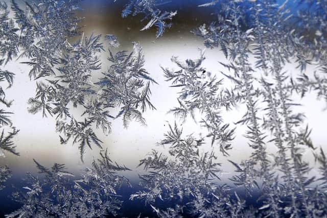
Hide Ad“A significant spell of cold weather will affect NI from this coming Wednesday onwards. We can expect low temperatures - Day-time temperatures are likely to remain very low with areas struggling to get above 0°C and night-time temperatures likely to be well below freezing, possibly minus double digits in rural areas with widespread Ice & Frost becoming a hazard both day and night. An added wind chill will make it feel even colder.”


“Details remain uncertain this far out regarding snow, but we can expect any showers that come along to start to turn increasingly to sleet and snow, especially inland away from the immediate coast.”
The UK Met Office meanwhile states in its outlook for NI for Tuesday to Thursday that it will be “turning colder, as winds become northerly, through Wednesday and Thursday with, across northern counties, increasingly wintry showers, the south remaining dry with overnight frosts”.
In its forecast for Ireland in the week ahead, Met Eireann has stated: “Turning much colder, especially from mid-week onwards, as the winds become northerly.
"Plenty of dry weather is expected, though there are likely to be wintry showers at times, especially in northern and northwestern parts. Frosty conditions will develop by night.”
“Monday night will see some scattered showers continuing near the east and south coast but it will be mostly dry elsewhere with clear spells. Lowest temperatures of -2 to 3 degrees, coldest in the north with a widespread frost setting in, in light or moderate northeasterly breezes.
“Tuesday will be dry in most areas with good sunny spells in many areas. Just a few isolated showers especially near the east coast where it may be somewhat cloudier. Highest temperatures of 4 to 7 degrees in light north to northeast breezes.
Advertisement
Hide AdAdvertisement
Hide Ad“Very cold on Tuesday night with light northerly breezes and largely clear skies. Isolated showers may continue near the north and northwest coast. Widespread frost is expected as temperatures fall to between 0 and minus 4 degrees.

“Good sunny spells on Wednesday, though it will remain chilly with afternoon temperatures reaching just 2 to 6 degrees. Dry for most areas. However, scattered showers will affect northern and northwestern coastal areas and these will edge further inland over Ulster and Connacht during the evening and night, turning increasingly wintry with falls of snow likely, especially on higher ground…. Bitterly cold overnight with temperatures below freezing countrywide leading to a widespread sharp to severe frost and icy stretches.”