
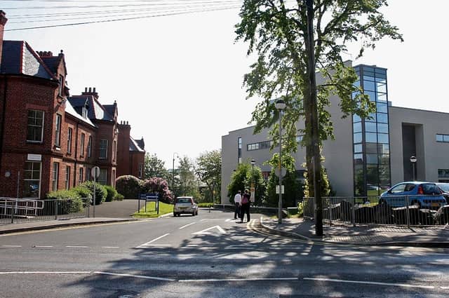

Since 1987 the Queen's University at Belfast has been developing the ‘Northern Ireland Place-Name Project’ and compiling an incredible database of names that sometimes date back over a thousand years.
In compiling the Derry city section the compendium draws heavily on John Bryson's seminal 'Derry's Streets'. Other sources, including George Vaughan Sampson's map of Co. Derry of 1814, are also cited.
Some of the meanings suggested in the database are open to interpretation and debate but make for fascinating reading.
Based in Queen’s University, the project works in collaboration with Land and Property Services in the Department of Finance in providing a free online database of our local place-names (www.placenamesni.org. This is accompanied by an interactive searchable map of historical names (townlands, parishes, baronies and counties) which is provided by LPS.
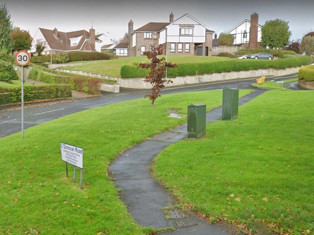
5. O'Donovan Road (Bóthar Uí Dhonnabháin). Named after John O'Donovan (1809-61) historian and collector of place-names for the OS 1830-43. (Bryson) There are several streets in Ballynashallog Ward named after people involved in the Ordnance Survey in the 1830s and 1840s when the first 6" series of maps were made. These are Colby Avenue, Drummond Park, Larcom Drive, O'Donovan Road and Petrie Way
O'Donovan Road (Bóthar Uí Dhonnabháin). Named after John O'Donovan (1809-61) historian and collector of place-names for the OS 1830-43. (Bryson) There are several streets in Ballynashallog Ward named after people involved in the Ordnance Survey in the 1830s and 1840s when the first 6" series of maps were made. These are Colby Avenue, Drummond Park, Larcom Drive, O'Donovan Road and Petrie Way Photo: Google streetview